

Warming temperatures and rainfall trigger spring freshet
Administrator | Mar 24, 2023 | Comments 0
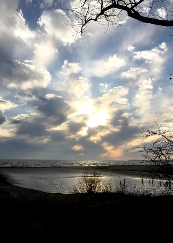
– Janet Elson photo
Plenty of rain this weekend coupled with above zero temperatures will trigger this year’s spring freshet (rise or overflowing of streams and rivers) in the Quinte Conservation watershed.
Weather forecasts for the region predict 20-25 mm of rainfall from Saturday to Sunday, with above zero temperatures expected until Monday.
“Water levels are rising on rivers and creeks; the first peak is anticipated by mid next week,” reports Dave Eastcott, Water Resources Technologist. “The spring freshet for the Moira, Napanee, and Prince Edward watersheds is the river peak caused by snowmelt which typically occurs in the springtime between mid-March and early May. This is an annual event which swells the rivers and tributaries, providing much needed recharge to lakes and groundwater.”
He reports current watershed conditions are fairly typical for this time of year.
“Snowmelt has been occurring slowly for a week already, with much of the snowpack being reduced south of Highway 7. North of Highway 7, a significant amount of snow remains, with slightly above normal water content in the most northerly regions. River flows are average for mid-March, which provides significant capacity to accommodate future increases.”
He adds it should be noted that springtime peak flows have been well below normal levels for the last three years.
“Quinte Conservation is currently forecasting that creeks and rivers will reach or exceed normal bankfull conditions this spring. Higher than recently experienced springtime water levels are expected in the coming weeks. Water levels in this range may affect low lying or landscaped waterfront areas, but not dwellings.
“Runoff from rain and snow melt will create a rise in water levels on creeks and rivers; however, they are not forecasted to over top their banks at this time. Nuisance flooding is likely to occur around small watercourses, urban areas, and ditches. Large river systems and inland lakes are not expected to flood at this time.”
All remaining ice surfaces should be considered unstable due to warming temperatures and higher flows. The public is advised to exercise extreme caution when near rivers and waterbodies and to stay away from open and fast flowing water, culverts, dams, ice covered water, and banks.
Residents in flood prone or low-lying areas are reminded to take the necessary precautions to protect their property. Please ensure sump pumps are in good working condition and to have easy access to a portable backup generator and pump. Help reduce ponding by keeping ditches, culverts, and storm drains clear from obstructions and secure items that might float away as flows increase.
Quinte Conservation staff will continue to monitor conditions. The flood outlook statement gives early notice of the potential for flooding based on weather forecasts calling for heavy rain, snow melt, high wind or other conditions that could lead to high runoff, cause ice jams, lakeshore flooding or erosion. The statement is in effect until (or to be updated before) April 6.
Filed Under: Featured Articles
About the Author: