

Extreme cold to follow southern County snowmageddon
Administrator | Jan 06, 2015 | Comments 0
A day of snow squalls made it look a lot like winter in the County Tuesday. While total snowfall amounts are variable, Environment Canada said up to 40 cm possible in southern parts of the County before the snow squalls shift out of the region after midnight.
The entire Quinte area is warned to brace itself for a cold snap. Environment Canada has issued a wind chill warning for the region for Tuesday night and Wednesday. Lows expected to reach -13 will feel like -30 with the wind chill.
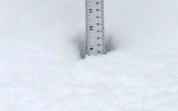
Southern Prince Edward County residents who left their homes Tuesday morning seeing grass on the lawn were in for a big white shock when they returned home to find up to a foot of snow had fallen – though some residents on the north shore report they received just a dusting.
White out conditions caused poor visibility all day. Emergency crews responded to numerous accidents including one at the intersection of Hwy 62 and Gilead Road about 3 p.m. and another report of a truck that spun out in Hillier and hit a house.
A look at the County from the cameras of Countylive.ca friends:
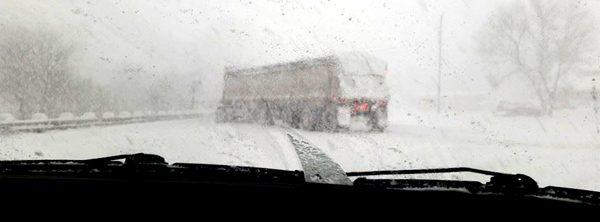 Transport stuck across Hwy 49 near White Chapel Road blocking both lanes. Megan Hutton photo
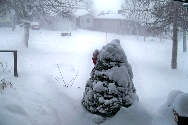
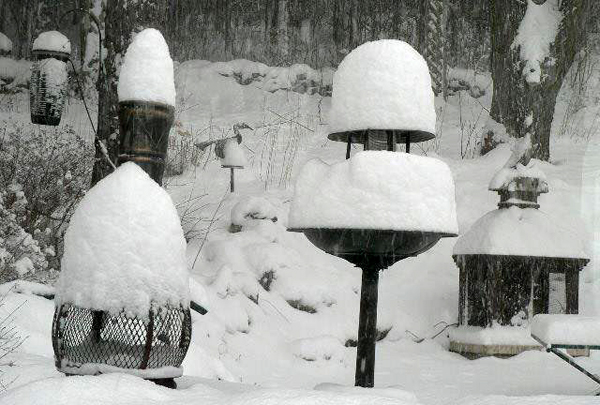 Yard at Glenora. Joe Hache photo
 East Lake early afternoon. Dale Miller photo
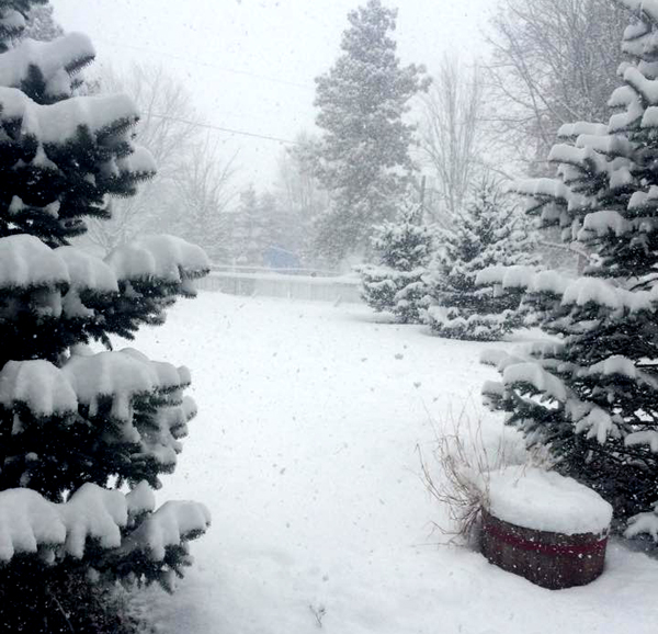
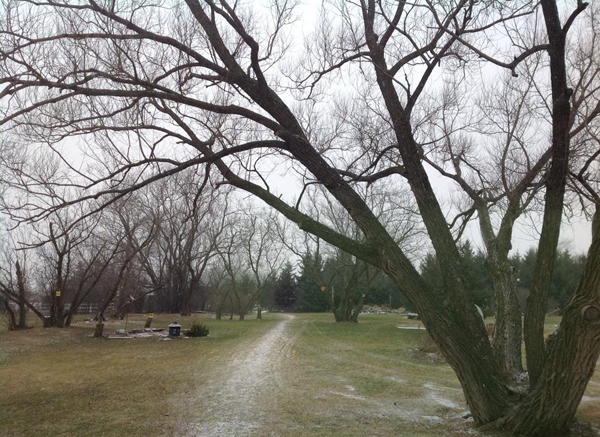
 Cherry Valley at noon. Was bare and dry at 9 a.m. Jeff Rogerson photo
 Sheba’s Island at noon. Terry Ryan photo
 At Wellington. Richard Todd photo
 Bare in Demorestville this afternoon. Margaret Collins Clapp photo
Filed Under: Featured Articles
About the Author: