Flood warning issued; County advises on roads and closures; beach disappeared
Administrator | May 06, 2017 | Comments 3

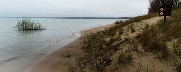
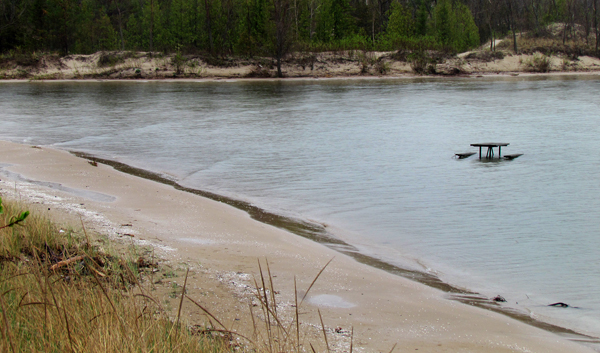
Water at Sandbanks beach almost reaching the dunes. Lake Ontario has hit its highest levels since the early 1990s – a few centimetres below the last high recorded in 1993.
UPDATE 6 p.m.: County Road 28 from the southern intersection with Highway 62 to Weatherhead Road has been closed to all traffic for safety reasons. That road also flooded over during Monday’s storm. http://www.countylive.ca/?p=66524

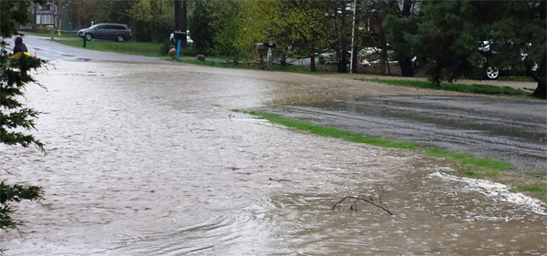
The water was at its peak over County Road 28 which was the old Picton highway in Ameliasburgh Ward. John Ferguson photo
UPDATE Saturday 6p.m.: More than 12,000 bags of sand have been filled to help protect County properties.
May 6 – A flood warning has been issued for all areas in the Quinte Conservation watersheds – including all lakes, rivers, streams and the shorelines of Lake Ontario and the Bay of Quinte.
“We have received almost twice the normal amount of rain for the entire month of May in the first week,” said Christine McClure, Water Resources Manager. “We anticipate that all rivers will, or already have, overtopped their banks. The Bay of Quinte and Lake Ontario are approaching one in 100 year flood levels.”
A flood warning means flooding is imminent, or already occurring. Municipalities and individuals are advised take action to deal with flood conditions. This may include road closures and evacuations.
“The most recent rain ran off more quickly because the ground was already saturated and creeks, streams and wetlands were already full. We are predicting that this flooding situation will be similar to, but not as bad, as the one in 2014.”
The Glenora Ferry remains out of service.
Prince Edward County residents are being advised of closures and restrictions resulting from high water levels and continued rainfall.
The boat launches at Edwards Drive and North Big Island have been closed until further notice.
The Ameliasburgh Landfill has been closed until further notice. Sections of the Millennium Trail are flooded from Station Road to Danforth Road and should be avoided until further notice.
Drivers are being asked to avoid seasonal roads while localized flooding and heavy rainfall continues.
There is localized flooding on several roads, that so far remain open. Watch for posted signs on:
o County Rd 28 (South)
o County Rd 39 (near Edwards Drive)
o County Rd 2 (between Gilead Road and Swamp College Rd)
o County Rd 15
o Bongard Rd
o Chase Rd
o Salem Rd
o Greer Rd
o Conley Rd
o Cold Creek Rd
Sand and sandbags continue to be available from 7am to 5pm, including Saturday, May 6 and Sunday, May 7, at:
· 15 Coleman Street, Ameliasburgh
· 115 Lake Street, Picton
· Essroc Arena, 111 Belleville Street, Wellington
Filed Under: Featured Articles
About the Author:


What Claudio said we need to make our Children aware of the dangers..
As a contractor, I have witnessed first hand the damage that this flooding will and has already caused.With all the warnings of higher waters, and rushing rivers, I just hope we can keep our kids safe, and let them know to stay away from the water. In the end, properties can be fixed but life’s cant.
Please stay safe
There is no reason why Bongard road is flooded if the county would unplug the culvert that a certain inividual dumped a load of gravel on last fall.Instead they put up signs saying water over road