


County data just a click away with launch of new portal
Administrator | Oct 19, 2026 | Comments 0
The County of Prince Edward has launched its new Open Data Portal, providing public access to selected geographic information maintained by the municipality.
“We are excited to offer a centralized resource where users can discover, explore, and download approved datasets,” said Grant Hopkins, Geographic Information System (GIS) Supervisor.
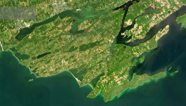 The portal currently includes information related to:
Administrative boundaries
Property and land
Planning and development
The portal launches with an initial collection of datasets and will continue to evolve as additional public information is reviewed, approved, and prepared for publication. Each dataset includes a description, metadata, map preview, and available download options.
Residents, businesses, consultants, researchers, community organizations, and developers are encouraged to explore the new portal and discover the many ways County geographic information can support planning, research, analysis, and community projects.
To engage the public and demonstrate accountability and transparency, the County strives to routinely and proactively provide access to official records and information. The Open Data Portal supports these goals by making frequently requested information easier to access without making a formal information request.
In addition to downloadable datasets, residents can also use the public GIS viewer to explore geographic information through an interactive online map without specialized software.
If you have questions about the Open Data Portal, contact gis@pecounty.on.ca.
Filed Under: News from Everywhere Else